There are reports from some around the internet that a 2.0M earthquake occurred in Wyoming — and that this is somehow a noteworthy occurrence, or that it doesn’t occur very often.
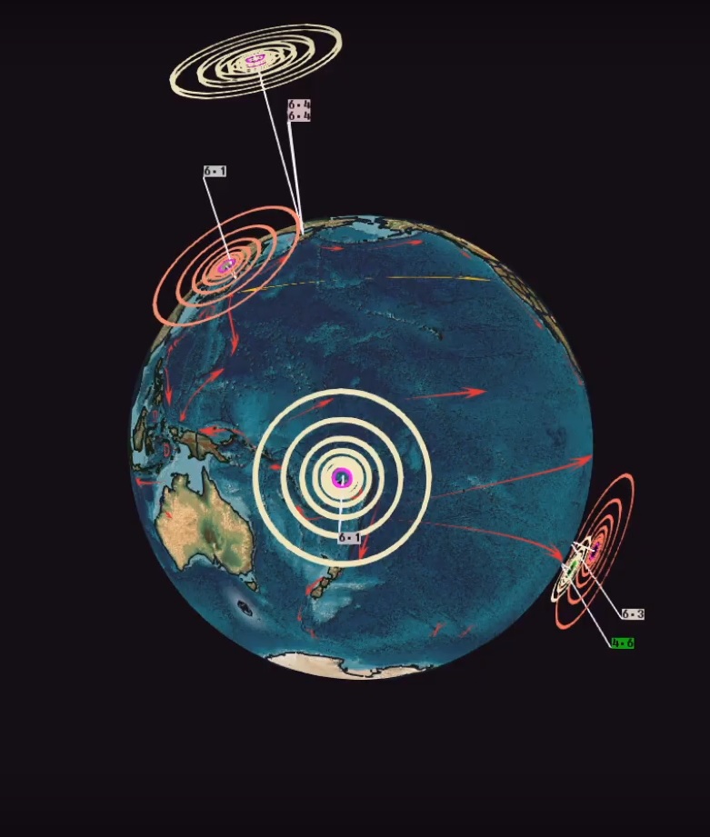
Below are several diagrams and screenshots: the diagrams are of the Yellowstone Magma chamber — and the screenshots are of the earthquakes over last 14 days of 2.0+ in the Wyoming region — we see at least 8 magnitude 2.0 and greater earthquakes marked on Earthquake3D (USGS feed).
Earthquakes in this area recently (and in the past) are nothing new, and a sign of the continuing movement of the magma chamber underneath the entire region — from Idaho, into Montana.. south through Wyoming — into the north east tip of Utah.
Here are the diagrams of the magma chamber:


here is a link to a recent story (this past year) about Yellowstone caldera being bigger than they originally thought..
http://www.theweatherspace.com/news/TWS-04_12_2011_yellowstone.html
====================================
Below is a screenshot of current earthquake activity in the area:
Notice the entire edge of the known magma chamber (from Idaho east into Wyoming, south west into Utah.. and north into Montana).


Earthquakes in this area have been happening on a daily basis.. sometimes multiple earthquakes per day. I do NOT think we have any sort of eruption due yet.. however the lake bed HAS been rising:
http://www.isthisthingon.org/Yellowstone/wrapper.php?file=LKWY_SHZ_US_01.2011102400.gif

And Madison River — showing a LOT of activity daily:
http://www.isthisthingon.org/Yellowstone/wrapper.php?file=YMR_SHZ_WY_01.2011102900.gif

=================================
Summed up, when you hear someone commenting online that a 2.0 occurred near yellowstone in Wyoming.. and if they say it doesn’t happen all the time.. or suggest that it is rare… let them know they need to check the charts ! As you can see.. the above charts from the area show the multiple earthquakes which occur in this area.. DAILY.
Ironically, these dozens of daily quakes do NOT show up on the “earthquake maps” that the rest of the world gets “fed”— yet you see them on the charts above !